Be sure to see
which part of the state has the best water running by clicking below.
(a
great link indeed!)
|
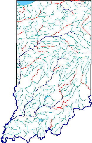
Hover over
the image map for river names. Click on the river for in-depth information
about each river including maps to ALL public access points, weather,
current river levels and local oufitters.
|
Click here to find out about the legal status of Indiana's rivers.
| Outdoor Resources: |
| Rivers & Streams |
| Indiana State Parks & Reservoirs |
| Hoosier Natl Forest |
| Knobstone Trail |
| Indiana
Dunes National Park |
| Mountain Biking |